

Bratislava
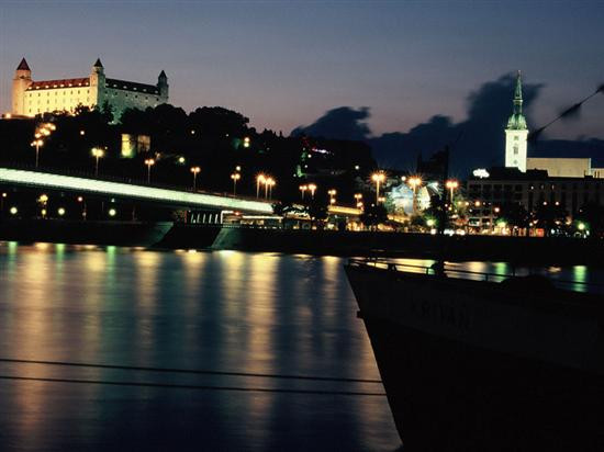
Bratislava is located in Central Europe. It lies on both banks of the Danube, the second largest river in Europe, and at the foot of the Little Carpathians. The city is situated on the border of three countries, bordering Hungary to the south and Austria to the southwest. In terms of administrative division, the city is divided into seventeen districts.
Bratislava lies on the banks of the Danube, the second longest river in Europe, and at the foot of the Little Carpathian Mountains. The Middle Danube Basin begins at Devínska brána in western Bratislava. The city is part of the Bratislava Region, one of the eight regions into which Slovakia is divided.
The city covers an area of 367.58 square kilometers. In addition to the Danube, which flows through the city from west to southeast, the city also covers parts of the Morava River, which forms its northwestern border and flows into the Danube in Devín, as well as the Little Danube and the Vydrica River, which flows into the Danube in the Karlova Ves district.
The Carpathian mountain range, one of the largest in Europe, begins in the city under the name Malé Karpaty (Little Carpathians). The Záhorská lowlands extend into Bratislava in the west and the Dunajská lowlands in the east. The lowest point of the city is the level of the Danube, which is 126 meters above sea level, and the highest point is Devínska Kobyla at 514 meters. The average altitude of the city is 140 meters.
Facts:
Area: 367.9 km2
Population: 425,155 (2004)
Location: 17° 7´east longitude, 48° 9´north latitude
Altitude: 126 – 514 m above sea level
Further information about the city can be found on the Bratislava website.